城市道路全图
city-roads,Andrei Kashcha (anvaka),2020 年
正在布展…
它是怎么做的
- 第 1 步用 Nominatim 搜索城市并获取其行政边界 ID
- 第 2 步向 Overpass API 请求该区域内所有 highway 线段
- 第 3 步把所有道路线段一次性写入 WebGL 线段缓冲区(w-gl 库)渲染
- 第 4 步可调线条颜色、背景、宽度,并导出 PNG 或 SVG
复刻配方
一段技术配方,可以直接交给 AI 编程助手,也可以自己照着写。想指定技术栈、位置和性能预算,就把它加入实现方案。
Geocode a place name to an OpenStreetMap area id with Nominatim, then send an Overpass QL query for all ways tagged highway inside that area, returning node coordinates. Project longitude and latitude to a flat Mercator plane and pack every road segment into one WebGL line buffer so hundreds of thousands of segments draw in a single call. Add pan and zoom, a colour picker for lines and background, and export to PNG via the canvas or to SVG by writing path data.
档案
相关藏品
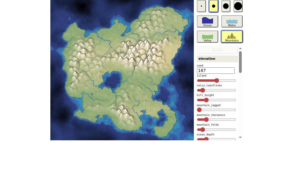
手绘地形生成器
2018Mapgen4 — Amit Patel (Red Blob Games)
在地图上随手涂抹山脉和海洋,风、降雨、河流和植被会在毫秒内重新计算,生成一幅像手绘古地图的斜俯视大陆。

多边形寓言
2014Parable of the Polygons — Vi Hart & Nicky Case
一篇可以玩的文章:拖动可爱的三角形和正方形搬家,看「一点点偏好」如何导致整个社区严重隔离。

聆听维基百科
2013Listen to Wikipedia — Stephen LaPorte & Mahmoud Hashemi (Hatnote)
全世界每一次维基百科编辑都化作一个气泡和一声钟琴,新增是钟声、删减是弦乐、新用户是一段弦乐长音。